
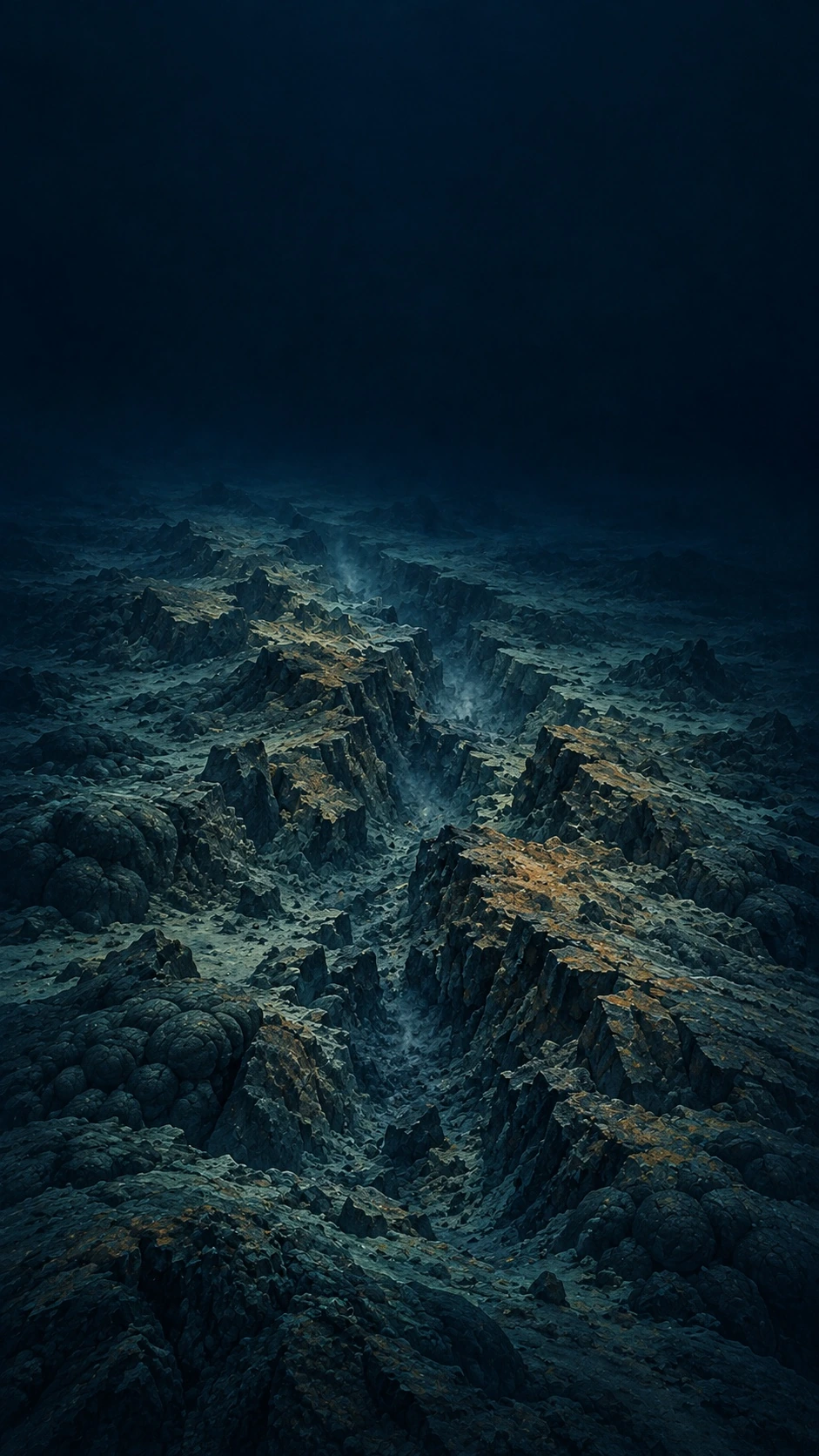
The Moon and Mars have been mapped in finer detail than most of Earth's ocean floor, because the radar and cameras that map planets from orbit cannot see through seawater.
Ikigai Daily
The story behind the card
Orbiting spacecraft have imaged the entire surfaces of the Moon and Mars in detail. On Earth, ships have to map the seabed with sonar, timing how long pulses of sound take to bounce back from the bottom, and a ship covers only a narrow strip at a time. Satellites can estimate the seafloor's shape from tiny bumps in the sea surface caused by the gravity of undersea mountains, but only at a resolution of several kilometres. The Nippon Foundation–GEBCO Seabed 2030 project, launched in 2017 to gather the world's depth measurements into one map, reported that about 6% of the seafloor had been mapped to modern standards at the start, and roughly a quarter by 2024.
Türkçe oku
Ay'ın ve Mars'ın yüzeyi, okyanus tabanının büyük bölümünden daha ayrıntılı haritalanmıştır; çünkü gezegenleri yörüngeden haritalayan radarlar ve kameralar deniz suyunun içini göremez.
Yörüngedeki uzay araçları Ay'ın ve Mars'ın bütün yüzeyini ayrıntılı biçimde görüntüledi. Dünya'da ise deniz tabanını gemiler sonarla haritalar: Gönderilen ses dalgalarının tabana çarpıp geri dönme süresi ölçülür ve bir gemi her seferinde yalnızca dar bir şeridi tarayabilir. Uydular, su altındaki dağların kütleçekiminin deniz yüzeyinde yarattığı küçük kabarıklıklardan tabanın biçimini tahmin edebilir, ama ancak birkaç kilometrelik bir çözünürlükle. Dünyadaki bütün derinlik ölçümlerini tek bir haritada toplamak için 2017'de başlatılan Nippon Foundation-GEBCO Seabed 2030 projesine göre, işe başladıklarında deniz tabanının yalnızca yüzde 6 kadarı günümüz standartlarında haritalanmıştı; 2024'te bu oran dörtte bire yaklaştı.
Sources and further reading
Image details
Illustration of a mid-ocean ridge; not measured seafloor data.